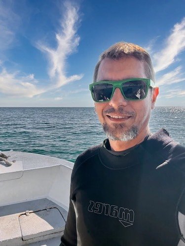
What Is Dive Site Mapping in the PADI Divemaster Course?
The dive site mapping project is one of the most practical and rewarding parts of the PADI Divemaster course. It goes beyond drawing a simple map — it’s about thinking like a pro, planning dives with precision, and improving your underwater navigation skills. You’ll learn how to organize information, guide others safely, and gain a real understanding of your dive environment
Why Is Dive Site Mapping Important During Divemaster Training?
In the divemaster training program, this project helps you put everything you’ve learned into action. You’ll practice underwater compass navigation, measure distances accurately, and create a map that others can rely on for dive briefings and planning. It’s not just about passing the course — it’s about developing skills you’ll use throughout your diving career.
Students undertaking the PADI Divemaster Course in Roatan must create a reliable representation of the dive site using measurements, bearings, and depth profiles. It’s a practical showcase of everything you’ve learned.
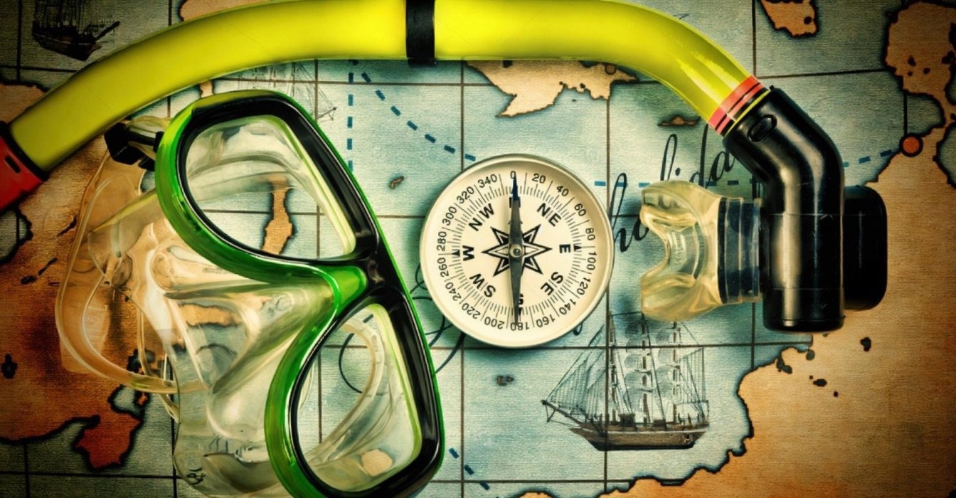
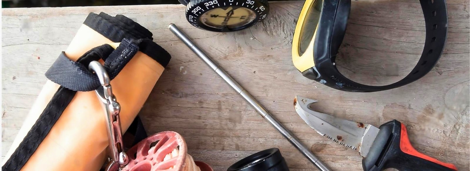
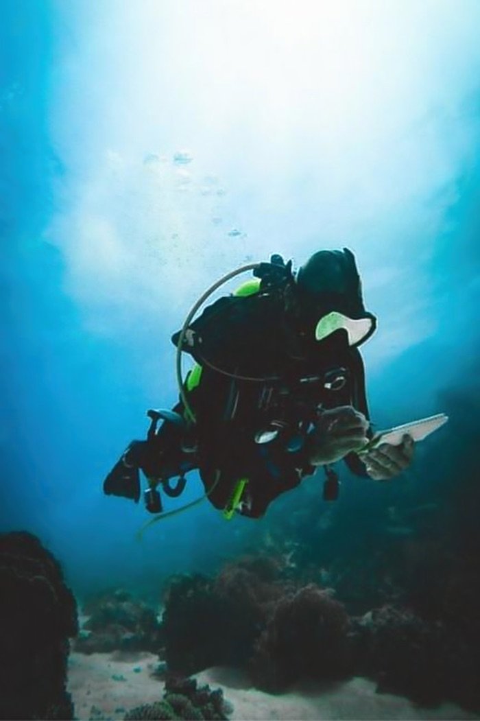
What Gear Do You Need for Dive Site Mapping?
To complete the dive site mapping project, you’ll need a few essential tools:
- A 30-meter measuring tape or reel
- A compass (plus a backup, just in case)
- A dive slate with a grid and a waterproof pencil
- A surface marker buoy (SMB) and a secure reference buoy
- Waterproof data sheets for recording details
- A dive computer and depth gauge
- An underwater camera to document landmarks visually
These tools help you gather reliable data, which makes your final map more useful.
How Do You Start Mapping a Dive Site?
Step 1: Pick the Right Dive Site
Choose a site you’re familiar with — this makes it easier to focus on mapping. During your first dive, take a look around. Spot major underwater landmarks, look out for hazards, and start thinking about your map layout.
Step 2: Set Up a Reference Point
Now, drop a buoy to create a central reference point. All your distance and direction measurements will start from here. This point becomes your map’s anchor, so place it where you’ll have good visibility and access.
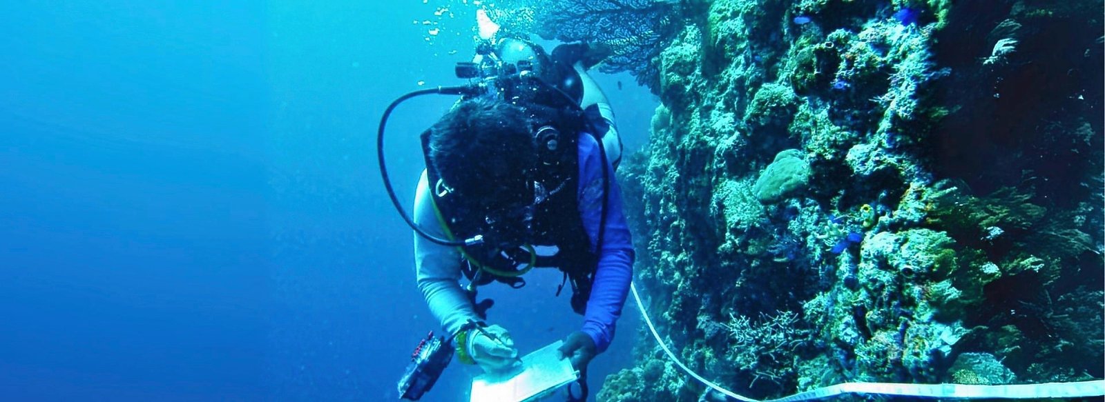
Step 3: Collect Data Like a Pro
Use a U-search pattern to scan the site in a structured way. Measure distances using your kick cycle — swim 10 meters and count your kicks to get your average. This method works even when visibility is poor.
As you go:- Record compass bearings for major features
- Note depth every 5 meters (16 feet)
- Sketch what you see on your slate while you dive
Step 4: Map Features and Identify Hazards
Your final map should highlight:
- Natural formations like corals, rock pinnacles, and sand patches
- Entry/exit points, safety stops, and emergency areas
- Potential hazards such as strong currents or sharp rocks
Can Technology Help You Map a Dive Site Better?
Absolutely. While your slate and compass are key, digital tools can make your final product even better:
- Mark GPS coordinates for surface reference
- Take photos with your underwater camera for visual records
- Use mapping software to refine your sketches
- Overlay surface maps with Google Maps to check scale and orientation
What Should Your Final Dive Site Map Include?
Navigation Essentials
- A compass rose (marking true north)
- A scale bar and grid for measuring distances
- Clear labels for major features
Planning Tools for Safe Diving
- Depth contours and profiles
- Entry/exit points, current directions, and known hazards
- Emergency stops and ascent points
Dive Site Details That Matter
- Key landmarks to help orient divers
- Marine life habitats to highlight special areas
- Seasonal notes or unique environmental features
Before finalizing, review your draft with experienced divers and make adjustments if needed.
What If You Run Into Problems While Mapping?
Navigation Troubles?
If visibility is poor or currents are strong:
- Use multiple cross-bearings to confirm your location
- Practice compass work in different conditions
Trouble Measuring Distances?
You’re not alone. Many divers struggle with this at first:
- Always calibrate your kick cycle before the dive
- Use a tape for critical measurements when possible
If you want to sharpen your accuracy even further, check out the
Search & Recovery Instructor course.
Why Is Dive Site Mapping So Valuable for Dive Pros?
Completing this project builds valuable skills like:
- Creating accurate underwater maps and dive site plans
- Improving risk assessment and safety planning
- Communicating clearly with groups using visual tools
- Enhancing your environmental awareness
Ready to Master Dive Site Mapping?
The dive site mapping project is more than a course requirement — it’s your opportunity to prove your skills and stand out as a professional. With practice, patience, and the right techniques, you’ll create maps that not only guide but inspire confidence.
Want to become the divemaster others rely on? Start by enrolling in our Divemaster Course in Roatan. Let’s build your future in diving — one map at a time.
Train with the best
Ready to Master Dive Site Mapping?
Not sure if the PADI Divemaster course is right for you? Wondering how dive site mapping fits into your career as a dive pro?
Book a free career call with me and let’s chat.
✅ Ask your questions
✅ Get personalized advice
✅ Plan your next step with confidence